label

- Water landscape category
- park
- Internet celebrity attractions
- Holiday Resort
- natural landscape
Scenic spot description
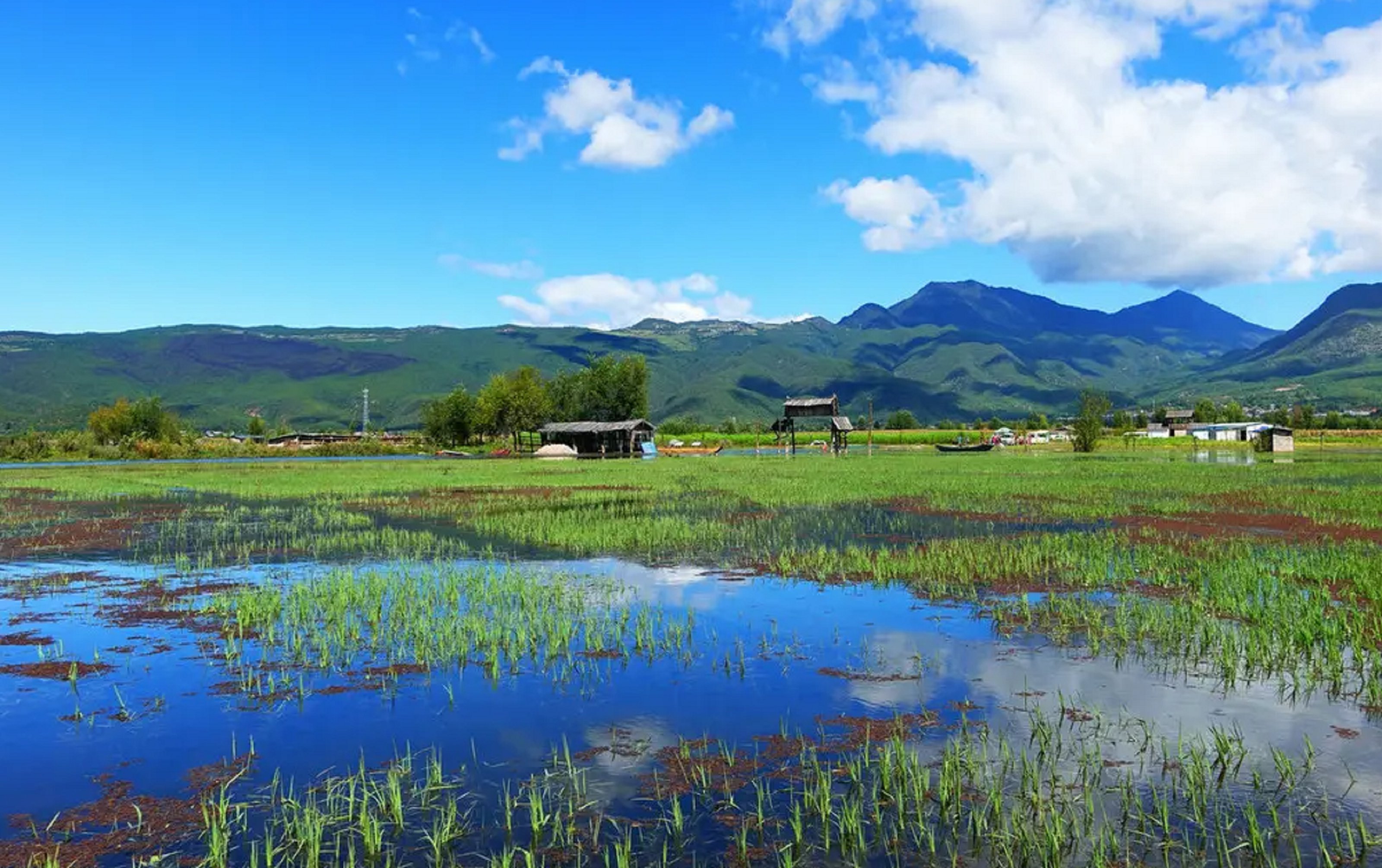
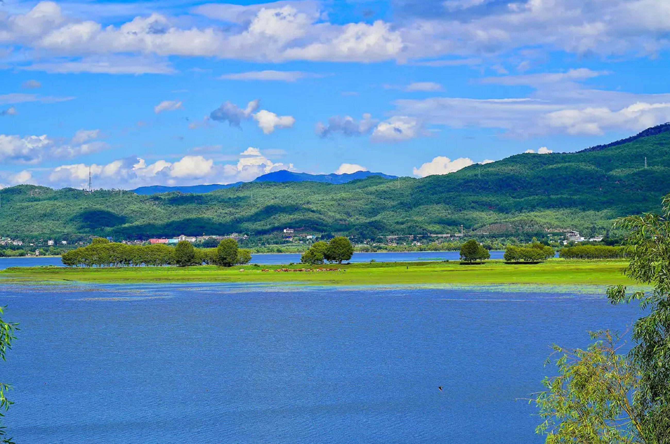
Lashihaiis located in the middle of Lashiba, 10 kilometers west of Lijiang County. It is the first nature reserve named after "wetland" in Yunnan Province. Lashi "is the translation of the ancient Naxi language," la "means barren dam," city "means new, meaning new barren dam. Lashihai was originally a part of the ancient geosyncline in northwest Yunnan. During the Mesozoic Yanshan Movement, it was folded and uplifted to form a land, and by the Miocene, it became a quasi plain. With the development of the Hengduan Mountains orogeny, by the end of the Pliocene to the beginning of the Pleistocene, this quasi plain was further divided into three plateaus with a relative height difference of 100 to 200 meters, namely Lashiba, Lijiang Dam, and Qiheba. Lashi Dam is one of the highest dams, and there is still a water area called Lashi Sea in the dam, with an elevation of 2437 meters above sea level
Lashi Sea is known as the cradle of life due to its fertile grass and beautiful lake scenery. It is a base of the National Nature Reserve in the United States. Lashi Sea is actually a fault structure lake, and it is also formed by the dissolution structure of limestone at 24#. The surface water sources entering the lake include Qingshui River on the south side and Meiquan River on the north side. Hydrologicalcatchment area265.6 square kilometers, the lake water originally flowed out from a cave on the northwest side. In the past, there were significant seasonal changes in the lake surface, with high water levels during the rainy season, a maximum storage capacity of 180 million cubic meters, a water surface of 9 square kilometers, and a water depth of up to 9 meters; The water level drops or even dries up during the dry season. Since the 1980s, water conservancy has been built successively, and a tall dam has been built in front of the sinkhole. The sea water can no longer flow freely, but flows into the urban area of Lijiang from the water tunnel opened by the Mount Huangshan Sentinel in the east of the sea. Due to the construction of dams, Lashihai has transformed from a seasonal lake to a plateau lake that maintains a certain water level. The mirror like surface of the lake reflects the Jade Dragon Snow Mountain, and overwintering waterbirds can safely inhabit or soar between the blue sky and white clouds, creating a unique atmosphere of plateau wetlands
Recommend Trip
Guess you like it
Recommended tourist attractions
Guess you like it